3 Great Backpacks for Your Trip
Outdoor Activities | August 1, 2025
SAIL
September 26, 2022
Share


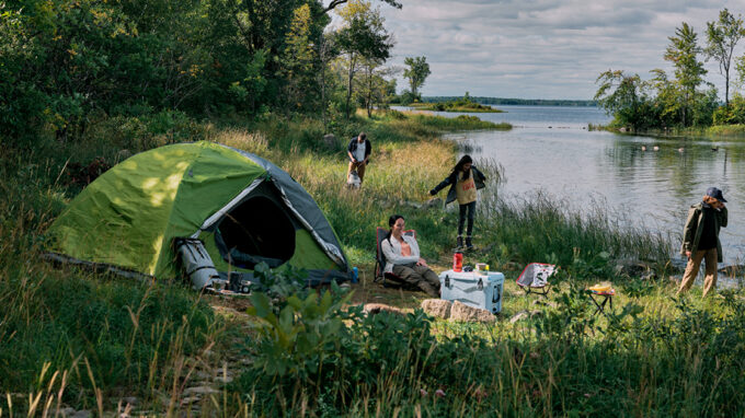
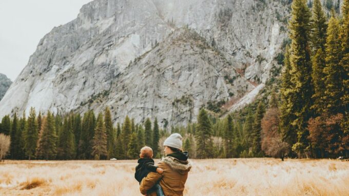
Today, let us transport you south of the border and show you some of the most beautiful hiking trails on the East Coast of the United States. You can find a plethora of mountains, much higher than those found in Quebec and sometimes even closer! All you have to do is get your passport out and take on these high summits!
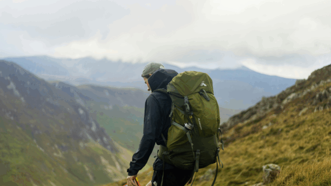
However, it’s important to be cautious as those mountains are higher, and therefore more difficult to climb. Make sure you are fit enough and that you go hike Quebec’s highest mountains as training beforehand. Mont Gosford, the Acropole-des-Draveurs or Mont Albert are good mountains to train on.
This article was produced in collaboration with 4000 Hikes

In this article, you will learn more about:
 A true staple of New Hampshire, Mount Washington offers many hiking possibilities. Indeed, it is possible to climb up this mountain a few different ways, using a few different paths! There is a paved road for vehicles to reach the top, as well as a train, and more than one path for hikers of course. While it is a very popular tourist spot, it is also one of the most beautiful hikes east of the Rocky Mountains, thanks to its many trails and incredible views.
As Mount Washington is the highest summit in Northeastern United States, its alpine zone is abundant and very impressive, and its weather can sometimes be fickle. Be ready to face any eventuality, and don’t forget additional layers when taking on this mountain. It is also where the Presidential Traverse, a 35-kilometre long hike over eleven summits that’s growing in popularity, culminates.
One of the start points amongst the many trails available is the free parking lot in Pinkham Notch, which takes you to the bottom of the Tuckerman Ravine Trail or the Lion Head. To head back down, the Boott Spur Trail is a superb alternative. It is a slightly more secluded and less traveled path, which allows you to appreciate Mount Washington in a different way.
While it is a fairly demanding hike, know that there are plenty of supplies available at the summit restaurant. A good soup or even a pizza slice to get your strength back and find a bit of comfort are always welcome.
Distance: 12 to 14 km
Elevation gain: 1 300 metres
Cost: Free
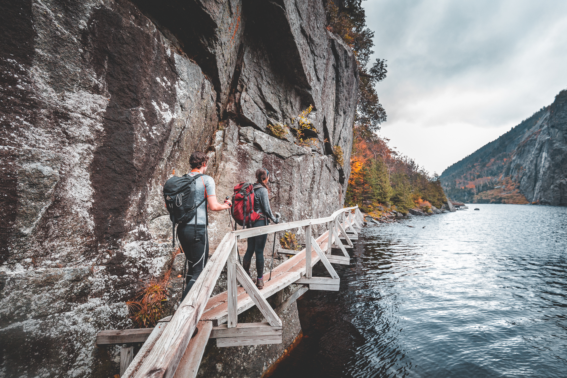 Mount Algonquin is the second highest peak in the Adirondacks, standing at 1 559 metres in altitude and, as many other mountains located in the northern part of the state of New York, it’s not an easy one. There are many routes available, but the shortest one is a 13-kilometre long roundtrip with an elevation gain of 900 metres starting from Adirondak Loj.
However, if you like to ‘collect’ summits over 4 000 feet, you should know that there are two other interesting summits you could add to your Mount Algonquin hike. It is possible to add the Wright Peak and the Iroquois Peak to your itinerary. If you stopped there, this would add four kilometres and 400 metres of elevation gain to your total hike. If you’d like another mountain to add to your list, you could go down towards Avalanche Lake to follow the lake and walk through a deep valley surrounded by cliffs. Magical! All together, the hike would then be 21 kilometres long with an elevation gain of 1 300 metres.
During our last trip there in October, the weather was unfortunately not on our side, with a lot of rain and fog. At the top, we experienced strong winds and cold temperatures. It is often the case on these high summits, so you’ll need to be ready to face any temperature. But it still remains a pleasure and a lovely change of scenery to walk on these majestic mountains!
After the hike, don’t hesitate to go visit the beautiful region of Lake Placid, where the 1980 Olympic Games were held. The area is magnificent.
Distance: 13 to 21 km
Elevation gain: 900 to 1 300 metres
Cost: 15 USD for parking
 This mountain is 1 596 metres high and it sits alongside Highway 93, which leads to Boston. It is therefore fairly easy to access, and it is only a 1 hour and 45 minutes’ drive from Magog. As it is a popular hike, you’ll need to arrive early on the weekend or take a shuttle.
The hike isn’t easy, with a total distance of 15 kilometres and 1 100 metres in elevation gain. Although this remains an accessible hike for those used to climbing mountains. The path is a loop, and you can choose to go clockwise or anti-clockwise. Whichever way you pick, the 360 view from the top and along the ridge are breathtaking. There is nothing like it in Quebec, aside maybe from the Mont-Vallières!
For those who love hiking with their pets, dogs are allowed on the trail, as is the case on many trails in the area, and access is free. In short, it is a must when it comes to hiking trails on the East Coast of the United States! Note that it is possible to extend your stay by sleeping in a superb hut, the Lonesome Lake Hut, one of the rare AMC huts to remain open during the winter, or at the foot of the mountain in Lafayette Place Campground!
Distance: 15 km
Elevation gain: 1 150 metres
Cost: Free (5 USD for the shuttle if the parking is full)
 Traveling through Vermont and looking for a nice hike? The Green Mountains range, which extends all the way to the Eastern Townships in Quebec, is full of possibilities! One of the lesser known, but really interesting options is Mount Camel’s Hump, located halfway between Burlington and Montpelier. This summit, which has a unique dome shape, peaks at 1 244 metres in altitude; it is the third highest mountain in Vermont, and the easiest on our list.
We suggest doing a loop following the Burrows Trail, which will take you to the summit and provide a breathtaking view alongside some dizzyingly steep cliffs! In addition to the Green Mountains, you can see the highest peaks of the Adirondacks to the west, and even the White Mountains to the east! While it is quite a short hike, it is a steady climb which shouldn’t be underestimated. It is recommended to go anti-clockwise to avoid going down the part of the Long Trail near the summit, which is quite difficult.
To add a little history to your hike, take on a little detour via the Alpine Trail near the summit so you can see the remains of a Bombardier B-24 plane, which crashed while on a training mission during the Second World War.
After your hike, feel free to have a drink in one of Vermont’s famous microbreweries. There really are many!
Distance: 9 km
Elevation gain: 730 metres
Cost: Free
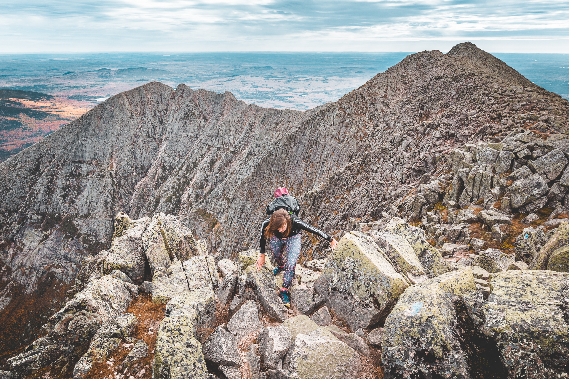 Not afraid of a challenge and looking for the ultimate hike on the East Coast of the United States? Mount Katahdin is perfect for you! With its 1 606 metres in altitude, this peak is the highest in Maine. The majestic hike showcases the unique landscapes of the East Coast of North America, and is the northern terminus of the Appalachian Trail, a 3 000-kilometre long path linking Georgia to Maine. Towards the end of the summer, it is common to meet hikers coming to the end of their long journey.
What makes this mountain famous is a part of the trail called Knife Edge, a beautiful ridge never too far from the edge… This mountain is without a doubt one of the most unique summits on the East Coast of the United States.
Knife Edge is a steep 2-kilometre long passage with some sections requiring basic climbing skills, while other sections are only about a metre wide, with the void on either side. Needless to say that when it’s windy or rainy, it can be quite dangerous. Best to thoroughly analyze the situation before leaving, and review along the way.
It is breathtaking and exotic, but there are of course other more accessible ways to complete the hike, including the Abol or the Hunt Trail, which start on the opposite side of the mountain.
While this hike is spectacular, it shouldn’t be taken on lightly. From the top, there are two ways to descend, the Cathedral Trail or the Saddle Trail, which are also very steep. Unless you decide to add on Hamlin Peak a bit further away, which will lead you on a more gradual descent, but will add five kilometres to your journey.
Whatever you choose, you will need to walk an average of fifteen kilometres, which can easily take from eight to twelve hours. So do arrive early in the morning and bring all the gear you will need with you (water, food and headlamp, amongst others) so you are not caught unprepared.
In short, a hike of Mount Katahdin is a trip you’ll remember for a long time! As this mountain is located a little further, you should plan at least three days to enjoy it properly. It is therefore important to book a campsite or parking so you can access the mountain. Otherwise, you can still discover other summits in the area, which are frankly impressive as well!
Distance: 13 to 18 km
Elevation gain: 1 100 to 1 300 metres
Cost: 21 USD for parking and park access for non-Maine residents
Share